
Idlewild Neighborhood Guide: Fredericksburg Streets Near the VCR Trail
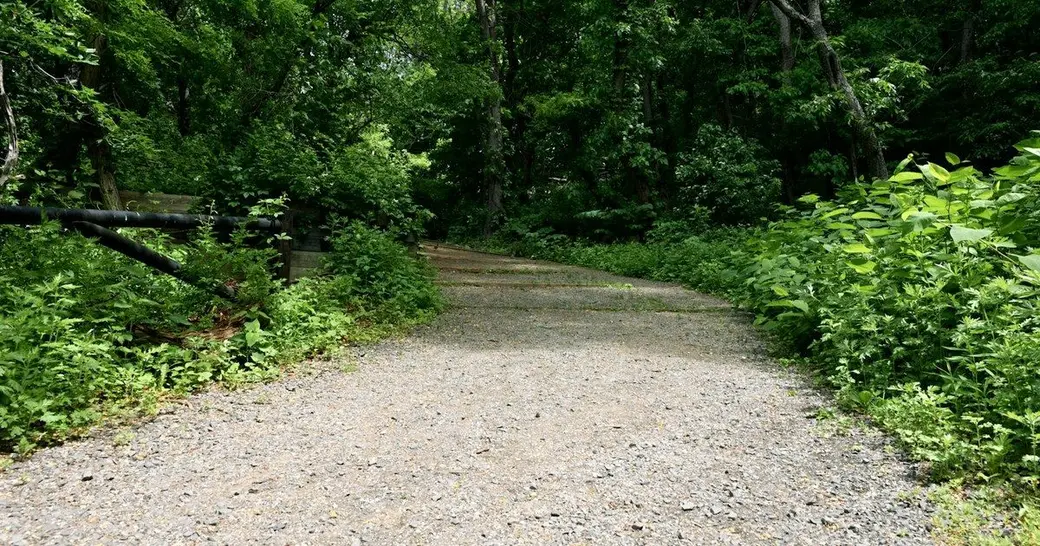
Quick answer: Idlewild is a City of Fredericksburg neighborhood in the city's Area 3 plan, on the Route 3 corridor between I-95 and Westwood Drive. The Virginia Central Railway Trail, a 2.7-mile, ten-foot-wide asphalt path, crosses Emancipation Highway (Route 1) and ends near Idlewild, just east of I-95, and is open all day, year round (City of Fredericksburg).
If you are looking at a house in Idlewild, the useful facts are where the city places the neighborhood, how the VCR Trail actually runs, and how to look up a specific parcel. I am not going to invent a home count, an HOA fee, or a list of stores. Those details, if they matter to a purchase, come from the listing, the association documents, and the city's maps.
Where the city places Idlewild
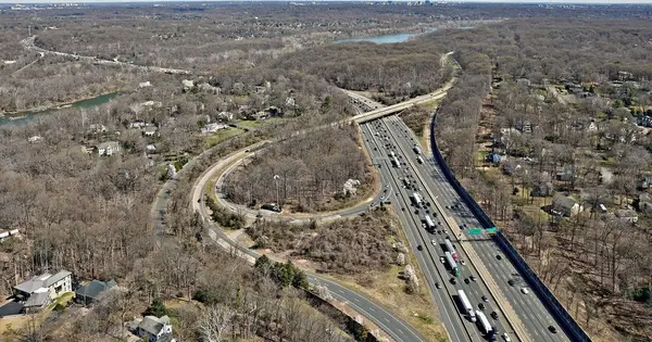
The city's Small Area Plans page says Area 3, Plank Road / Route 3, consists of the Route 3 corridor between I-95 and Westwood Drive, including the neighborhoods of Idlewild, Altoona, and Great Oaks (City of Fredericksburg Small Area Plans). That puts Idlewild on the city's western side, next to the interstate, along the Route 3 / Plank Road approach into Fredericksburg rather than in the downtown grid along Princess Anne Street.
The Small Area Plan for Area 3 was adopted by the City Council on October 24, 2017. The same city page says implementing the plan includes a form-based code for the Route 3 commercial corridor, and that the City Council adopted the zoning text changes in January 2019 (City of Fredericksburg Small Area Plans). Treat that adopted plan and zoning text as the official policy still published by the city, not as a new 2026 rewrite. It describes the corridor and a transition to existing neighborhoods. It does not replace a lot-by-lot check of the house you are actually buying or selling.
Route 3 is also the main surface road many people use between King George, the city, and I-95. I wrote a separate Route 3 commute guide for that drive. For a given Idlewild address, confirm the route on a current map rather than assuming every street has the same interstate access.
The VCR Trail, near Idlewild and just east of I-95
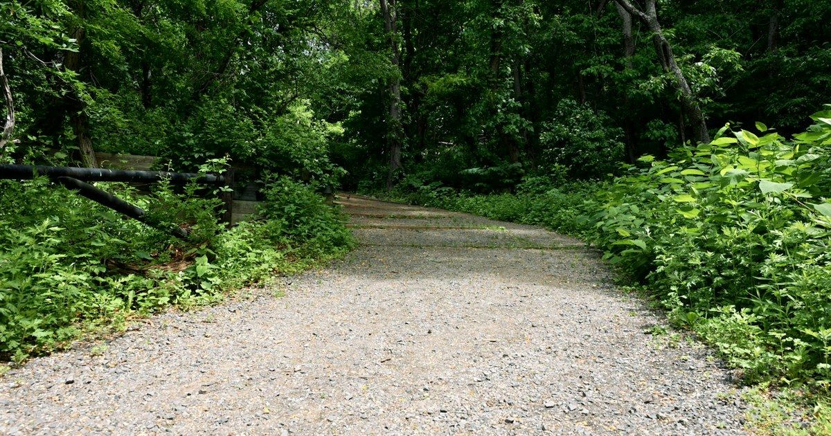
The city's Virginia Central Railway Trail page describes a 2.7-mile trail for pedestrians, bicyclists, and runners. The ten-foot-wide asphalt trail extends from the eastern end of the Cobblestone development off Lafayette Boulevard, out Lafayette Boulevard and across the Blue and Gray Parkway, then through Alum Spring Park and across Emancipation Highway (Route 1) to a point near the Idlewild neighborhood, just east of I-95 (City of Fredericksburg).
The same page says a bike rack is at the trailhead, that scenic views of Hazel Run and the historic Virginia Central Railway trail bed are visible throughout, and that the trail is open all day, year round. It lists trail entry points at Essex Street and Lafayette Boulevard in Fredericksburg and at Gordon Road in Chancellor, with trailheads located throughout the city (City of Fredericksburg).
That wording matters: the city says the trail reaches "a point near the Idlewild neighborhood," not that every Idlewild street has a trailhead in front of it. Walk or map the actual access from the property you are considering. Alum Spring Park, along the same trail, is also close to other city and battlefield parkland I have described in guides to Rappahannock River parks and trails and Fredericksburg and Spotsylvania battlefield parks. Gordon Road in Chancellor is across the city line in Spotsylvania County, which is a reminder to check whether a listing is actually inside the city.
Look up a specific parcel on the city GIS map
The city's Geographic Information System page says local governments use GIS to display information about parcels and property lines, building structures, neighborhoods, roads, addresses, zoning, resource protection areas, trails, and parks (City of Fredericksburg GIS).
The same page points to the city's Parcel Viewer, called MapInsights, and says it includes 2024 and 2026 aerial imagery plus tools for selecting adjoining parcels, exporting data, and measuring (City of Fredericksburg GIS). Open the FXBG Parcel Viewer and search the exact address. That is the way to confirm whether a house sits in the city, how it relates to Route 3 and I-95, and where mapped trails and parks fall, instead of relying on a marketing map or a Fredericksburg mailing address alone.
What to check if you are buying or selling here
On a purchase, read the city's Area 3 description, then verify the parcel in the Parcel Viewer and walk the VCR Trail access from that street (City of Fredericksburg Small Area Plans). If there is an association, get the recorded documents. If you need river or downtown context, start from the Fredericksburg area page and the trail and park pages above, and do not assume Idlewild has the same parking or street pattern as downtown.
On a listing, the facts that hold up are the official location in Area 3, the published trail route, and the parcel map, not a claim that a particular house sits "on the trail" unless the map and a site visit show that (City of Fredericksburg Small Area Plans).
FAQ
Is Idlewild in the City of Fredericksburg or in the county?
The city's Small Area Plans page includes Idlewild among the neighborhoods in Area 3, on the Route 3 corridor between I-95 and Westwood Drive, inside the City of Fredericksburg plan (City of Fredericksburg Small Area Plans). Confirm any one address in the Parcel Viewer, because a nearby street can sit across the line in Spotsylvania.
Does the VCR Trail run through every Idlewild street?
No. The city says the trail extends across Emancipation Highway (Route 1) "to a point near the Idlewild neighborhood, just east of I-95," and it lists entry points at Essex Street and Lafayette Boulevard in the city and at Gordon Road in Chancellor (City of Fredericksburg).
How long is the VCR Trail, and when is it open?
The city describes a 2.7-mile, ten-foot-wide asphalt trail that is open all day, year round (City of Fredericksburg).
How do I check zoning or trail access for a specific house?
Use the city's GIS tools. The GIS page says the Parcel Viewer can display parcels, neighborhoods, roads, zoning, trails, and parks, and it includes current aerial imagery (City of Fredericksburg GIS). Start with the FXBG Parcel Viewer.
Looking at an Idlewild or Route 3 home?
If you want help reading a listing against the city's Area 3 map and the VCR Trail, call or text Ron Chronister, REAL Broker, at (540) 300-4967 (City of Fredericksburg Small Area Plans). You can also start from the Fredericksburg area page or a sell consultation.
Categories
Recent Posts
GET MORE INFORMATION