
College Heights, Fredericksburg: Streets, Housing Styles and Nearby Landmarks
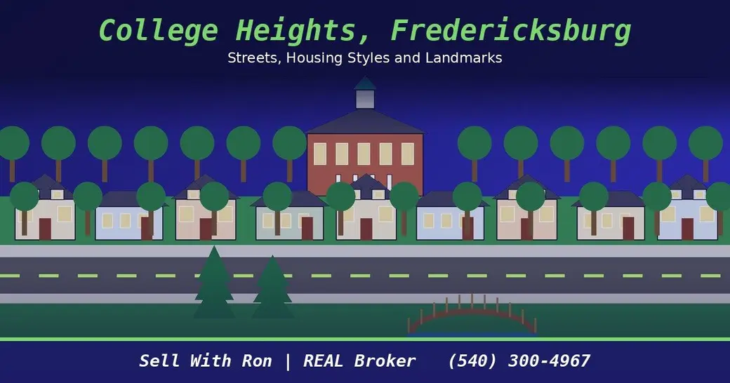
Quick answer: College Heights is a Fredericksburg city neighborhood next to the University of Mary Washington, in the city's University / Central Route 1 planning area. Much of it was built in the decades around World War II on an older street grid, with sidewalks, street trees and on-street parking. Alum Spring Park, the VCR Trail and the Fredericksburg Battlefield are close by.
If you're thinking about buying or selling in College Heights, here's how the neighborhood is laid out, what its homes look like and what's nearby. It's all drawn from City of Fredericksburg plans, the National Park Service and other primary sources.
Where College Heights sits in Fredericksburg
The city divides Fredericksburg into 10 small planning areas. College Heights is in Area 5, University / Central Route 1, which the City Council adopted a plan for on May 13, 2025. The city describes Area 5 as the high ground west of the older parts of town, including a large part of U.S. Route 1, William Street and the University of Mary Washington (City of Fredericksburg).
The adopted plan names College Heights, Westmont and Westwood as Area 5's neighborhoods. It notes that Route 3 gives the area a direct link west to I-95 and the city's regional shopping district, and east to downtown and the Rappahannock riverfront (Area 5 Small Area Plan).
Streets and getting around
College Heights grew from a street grid platted by the Fredericksburg Development Company in 1891. When the Route 1 Bypass opened in 1946, it cut through the west end of that grid and removed many residential lots, according to a city historic resources memo (City of Fredericksburg). Today Route 1 carries an average of 33,000 vehicles per day through Area 5 (Area 5 Small Area Plan).
Streets you'll hear about in and around the neighborhood:
- William Street: The plan calls the stretch between College Avenue and Kenmore Avenue a direct walking and biking link from College Heights and UMW to downtown (Area 5 Small Area Plan).
- College Avenue, Stafford Avenue and Hanover Street: The city suggests looking at traffic calming on these streets, including raised crosswalks and an enhanced crosswalk at William and Stafford (Area 5 Small Area Plan).
- Greenbrier Street: The plan lists a sidewalk gap to fill from the College Heights Pool to Alum Spring Park along this street (Area 5 Small Area Plan).
Shopping and services sit along Route 1. The plan supports keeping the grocery store and post office at the Eagle Village shopping center as it redevelops (Area 5 Small Area Plan). Central Park and the retail west of I-95 are a short drive out Route 3. For downtown parking and transit, see my guide to getting around downtown Fredericksburg.
Housing styles in College Heights
The city's plan says much of College Heights was developed between the 1920s and 1960s. It has the marks of older urban fabric: traditional blocks, on-street parking, sidewalks and street trees. About 15% of its lots hold housing types other than single-family homes (Area 5 Small Area Plan).
A 2016 cultural resource survey of the 302 buildings in College Heights found that most could be considered architecturally significant as good examples of mid-20th century modern architecture (Roger Williams University). The city counts College Heights among Area 5's historic architectural resources, along with the National Register-eligible UMW campus (City of Fredericksburg).
Across Area 5 as a whole, about half the homes are single-family detached, 70% were built more than 50 years ago and less than 2% were built after 2010 (Area 5 Small Area Plan). For a buyer, that usually means older systems worth a close inspection.
Will College Heights become a conservation district?
The Area 5 plan suggests a Neighborhood Conservation District as a possible tool. It could guide the width, scale and front features of new houses and review new construction, large additions and demolition. The plan says this tool must be requested and endorsed by the neighborhood and its property owners (Area 5 Small Area Plan).
At a December 9, 2025 work session, City Council discussed a draft in which requests to create a district would need owners of at least 60% of the land inside the boundary. The mayor said Council would return to the topic (City of Fredericksburg). Before you plan an addition or a teardown, ask the city's planning office whether any new rules apply.
Nearby landmarks
- University of Mary Washington: UMW lists 3,800 students on its about page (UMW).
- Alum Spring Park: This wooded city park at the end of Greenbrier Drive has a footbridge, a covered picnic shelter, a playground, restrooms and walking trails. It's open daily and closed from dusk to dawn (City of Fredericksburg).
- Virginia Central Railway Trail: The 2.7-mile, 10-foot-wide asphalt trail runs through Alum Spring Park and across Route 1, and it's open all day, year round (City of Fredericksburg).
- Fredericksburg Battlefield: The 0.8-mile Sunken Road loop starts at the battlefield visitor center and climbs Marye's Heights to Fredericksburg National Cemetery (National Park Service).
Tips before you buy or sell
- Check the parcel: The city's MapInsights parcel viewer shows zoning, parcels and other layers. The city notes its GIS is not a survey or a legal description (City of Fredericksburg GIS).
- Know which rules apply: College Heights isn't downtown, but if you're comparing it with an older home in the historic core, my historic district guide explains how review works there.
- Price for the street: Homes from different decades sit side by side here, so a pricing review should match homes of similar age and style.
FAQ
Where is College Heights in Fredericksburg?
It's in the city's Area 5 planning area, beside the University of Mary Washington, between the older parts of town and U.S. Route 1. William Street links it to downtown (Area 5 Small Area Plan).
When were most College Heights homes built?
The city's plan says much of College Heights was developed between the 1920s and 1960s, with traditional blocks, sidewalks, street trees and on-street parking (Area 5 Small Area Plan).
Is College Heights a neighborhood conservation district?
The adopted Area 5 plan suggests one as a possible tool, and City Council discussed a draft in December 2025, saying it would return to the topic. Check with city planning for the current status (City of Fredericksburg).
What parks are near College Heights?
Alum Spring Park sits at the end of Greenbrier Drive with trails, a picnic shelter and a playground, and the Virginia Central Railway Trail runs through it (City of Fredericksburg).
Thinking about College Heights?
Whether you're buying near UMW or getting ready to sell, I can help you compare homes of the same era and style. Browse my Fredericksburg area page or see how I sell homes. Call or text me at (540) 300-4967.
Ron Chronister, REAL Broker
Categories
Recent Posts

GET MORE INFORMATION